
Stormwater Support
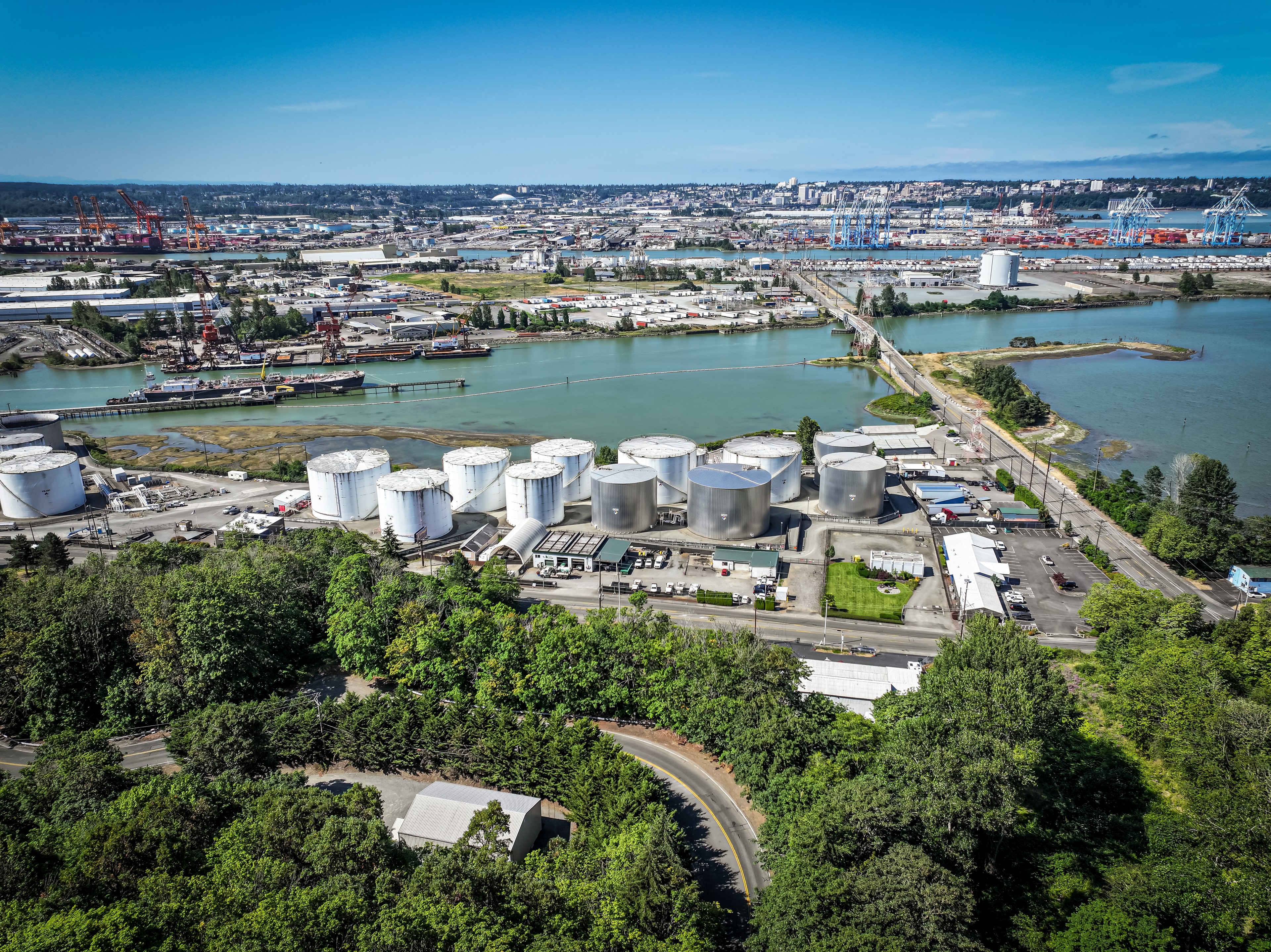
Aerial surveys feed directly into Stormwater maintenance planning, helping identify drainage issues, retention pond conditions, and infrastructure concerns before they become problems.
COMMERCIAL DRONE SERVICES
Rather than standing apart as a separate service, Drone Services are built to support the work Whirlwind already does on your property. One flight can generate documentation for Stormwater compliance, pavement repair scoping, post-storm assessment, and marketing — all at once. Our aerial team coordinates directly with our maintenance divisions so the data we collect is immediately useful to the crews managing your site.
Aerial surveys feed directly into Stormwater maintenance planning, helping identify drainage issues, retention pond conditions, and infrastructure concerns before they become problems.
Overhead pavement surveys give our asphalt and concrete team a complete picture of surface conditions before scoping repair or sealcoating work.
When a spill or site event occurs, aerial documentation is captured alongside our spill response team — creating a complete record from the same visit.
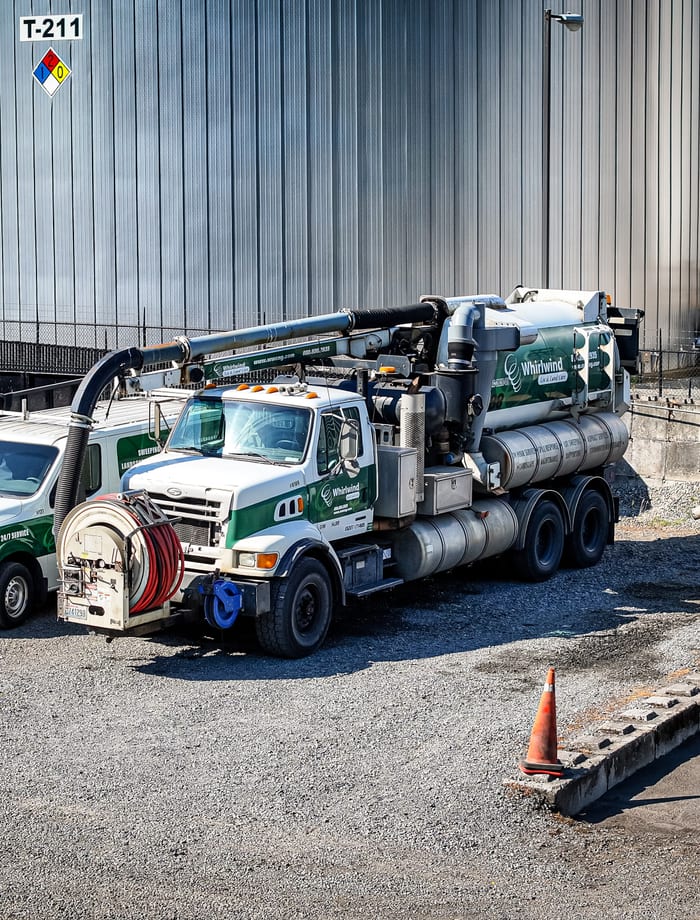
Aerial surveys eliminate the need for ladders, lifts, and roof foot traffic. Roofs, pavement, and drainage infrastructure can be reviewed quickly and safely from above.
Timestamped aerial photos and video create a reliable record for insurance claims, vendor bids, compliance documentation, and property history.
Drone flights reduce the need for lane closures, blocked parking, scaffolding, and equipment sitting on site — keeping your property operational during inspections.
An aerial review confirms what a property actually needs before crews are dispatched — reducing surprises, improving estimates, and keeping projects on schedule.
Post-service flyovers allow supervisors to confirm completed work, identify missed areas, and maintain a visual record of service delivery.
Whirlwind perspective
all your site needs.
Where It Works


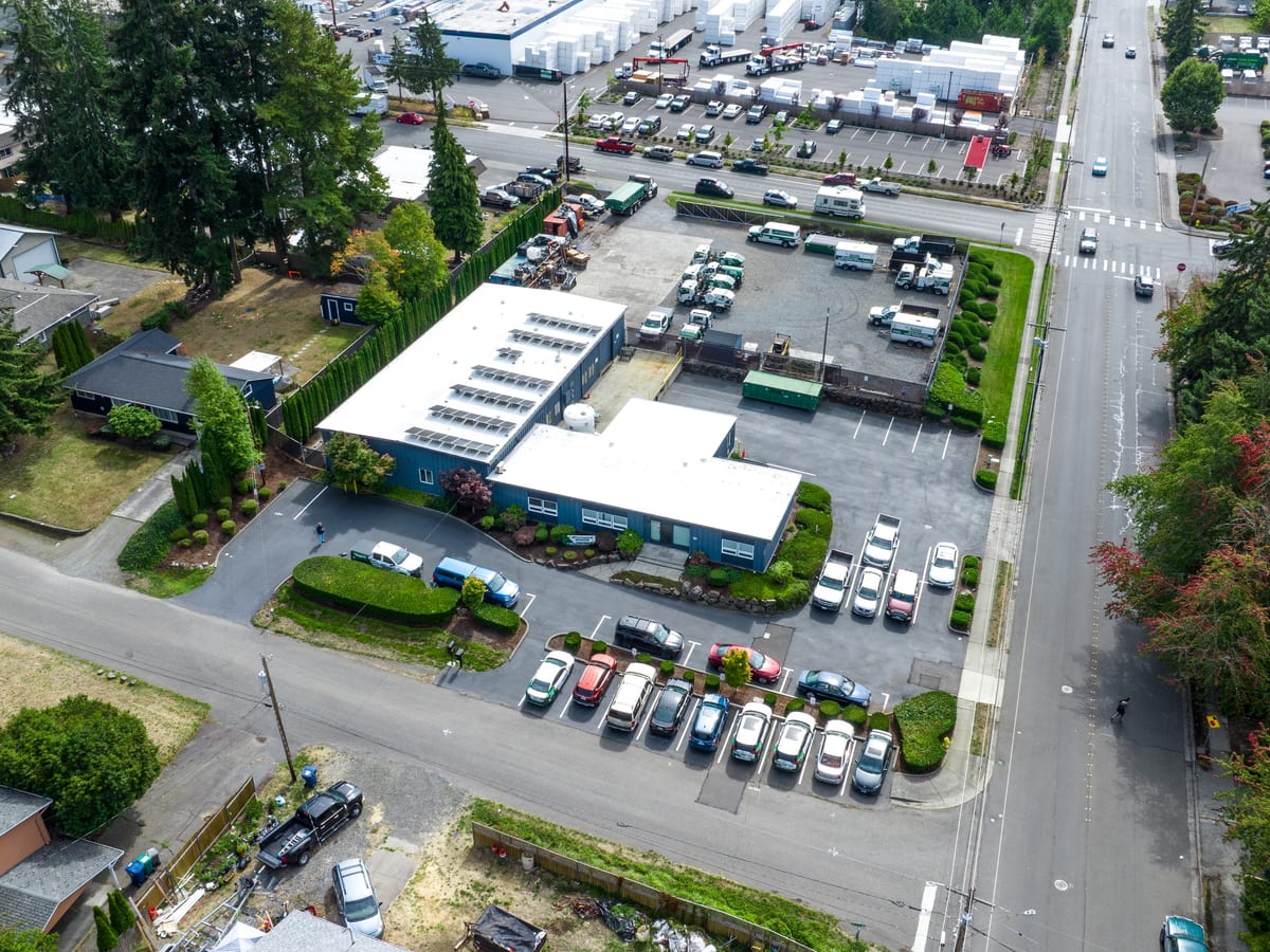
Whirlwind's drone team works alongside our maintenance crews to deliver aerial documentation, inspections, and surveys that support every aspect of your property program.